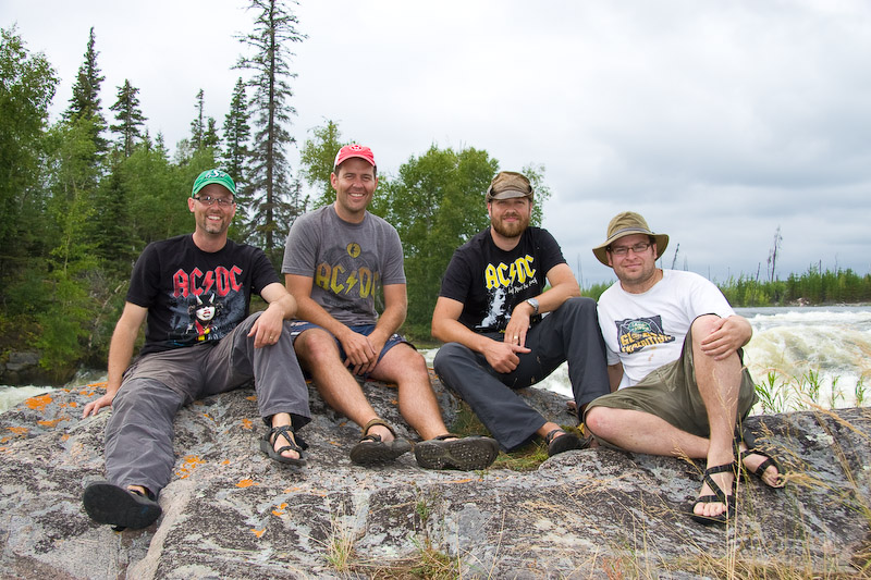
A little belt tightening to make sure it all fits. Just about loaded & ready to go.
We left Saskatoon Thursday (September 3rd) afternoon, loaded as usual with two canoes atop Rod's vehicle, and the gear packed into every nook and cranny. The canoes too carried their share of the load, with life jackets and some of the dry bags secured in under the seats and thwarts. Our first stop, besides filling with gas, was in Duck Lake for Bannock Burgers to go from the Trapper's Cabin. For the uninitiated, the Trapper's Cabin Bannock Burger is no mere greasy 1/4 pounder. The freshly made bannock is substantial, and contributes a remarkable amount of heft to the burger. One of these with a few fries and I guarantee your hunger will be satiated.With stomachs full, we continued northward, stopping in PA for some fresh provisions (salad & such), gas, and one last quick stop at the LBS. Jay & I popped into the liquor store to pick up just one or two small extras, I was thinking a mickey of something to sip on by the fire. We came out with a 40 of rum, and a bottle of Jack Daniels. That's in addition to the booze we already had on board, which was substantial.
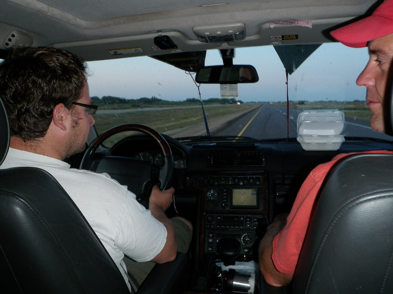
Rod & his co-pilot, Jay
The next morning we quite reluctantly got up for our first day of paddling, and what a day it would turn out to be. The first thing we noticed was that Rod had gone missing in the night. It turned out he got cold at some point so crawled off to sleep in the Land Rover. I had prepared a quick and easy to eat breakfast for the group ahead of time - I think it was probably banana bread or something. I think coffee was also prepared ahead and contained in a thermos or two. (For some reason I'm having some trouble remembering the details here.)
As before, we ran the section of the Montreal River between the picnic grounds along the highway, to the Highway 165 bridge, a distance of about 40 km on the water. The one catch was the lack of a shuttle vehicle. Being a group of 4, we find it much cheaper to stuff 2 canoes, 4 guys, and several days worth of food and gear into a single vehicle rather than driving two vehicles the several hundred km to the put-in. However, we came up with a simple solution - bikes! The put-in and take-out are only 22 km from each other by road, a very manageable distance for fit young men like ourselves. So, after crawling out of bed at the crack of 8 am, and somewhat hampered after the "rum incident" of the previous night, Jay and I grabbed a quick bite of breakfast then headed off with the vehicle and our 2 bikes to the take out. We were a tad short on water for the ride back, but Rod was very generous to share the liquid out of his leather wine skin. Too bad it turned out to be Jagermeister that he added to our only water bottle. The other two were left to implement the other half of the plan - to pack up the tent and gear and make ready the boats for our run on the Montreal. After stashing Rod's vehicle in the ditch, Jay and I hopped on our bikes for the return trip. The first obstacle was to climb the big hill out of the Montreal River valley. The road back is gravel and sandy. While not too bad for riding, the soft surface certainly requires some extra effort. The trip took us about an hour and we were very happy to be on the pavement for the last couple of kilometers.
Once back at the picnic grounds we stashed the bikes in the bush, then got everything ready that we thought Rob & Rod were going to do while we were away (something about them being in the outhouse for an hour and a half). Finally on the river, we enjoyed our downriver paddle on the Montreal. Like before, the rapids carried us along farly swiftly and was fairly easy to negotiate. The theory that aluminum sticks to rocks while royalex slides right over was put to the test, and confirmed. Rumour has it that Rod and Jay almost ran into a spot of trouble after running there canoe up onto a midriver rock. At one point we startled a moose out of the bushes along the river and it swam half-way across in front of us before turning back and disappearing into the bush. The rapids were lots of fun, particularly the long continuous stretches in the latter 3rd.
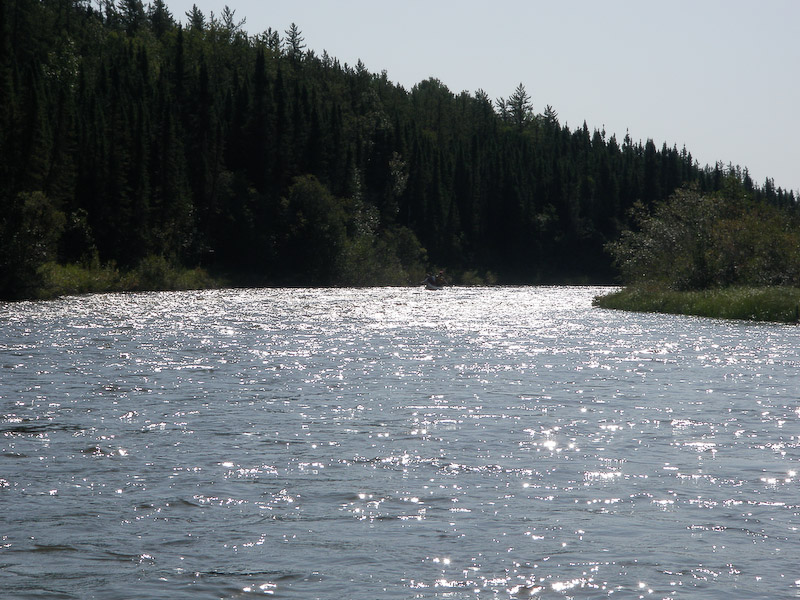
A flatwater section of the Montreal
Jay & Rod
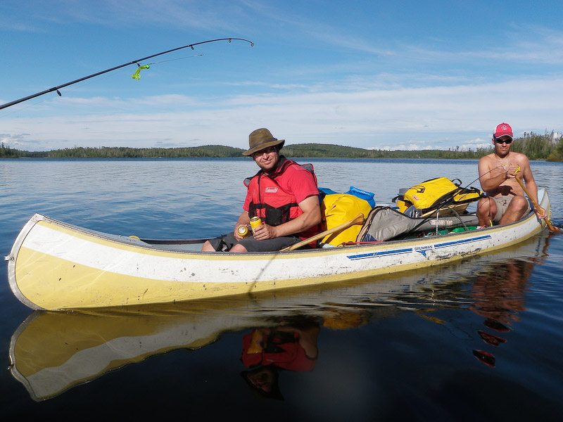
The Roughrider canoe
Moose!
Bow-cam!
 The weather was cooler with a stiff wind out of the west. We decided to take advantage of the wind and set sail towards First North Falls. That was an adventure in itself. Rod & Rob held the sail, while Jay & I kept us heading toward our destination with some expert ruddering. There was also a certain amount of beer juggling and an emergency dropping of the sails to swing around and pick up the "man overboard" (or wayward can of beer, if you prefer). As we approached our destination I decided to read the route description, which clearly dictated that we go around the north side of the island just in front of the falls, lest things go badly for us. Unfortunately, as we read that we were sailing just to the south of the island. Not to worry though, our sailing expertise allowed us to avoid being drawn into the chasm of oblivion Otherwise known as First North Falls.
A narrow part of the Montreal = fun paddling
The end of our run on the Montreal, this is the Highway 165 bridge
Once back to the vehicle, we loaded up and continued north, stopping in Air Ronge/La Ronge as usual for gas. Although we had the food with us to make supper, we decided to grab the giant bucket of chicken (and gravy, and popcorn shrimp, and pasta salad and coleslaw) and eat supper on the road in and effort to buy us more paddling time.
It was about 7 pm by the time we were loaded and underway from Missinipe on Otter Lake. There was a fair wind on Walker Bay as were loading the canoes and when we initially launched, but within a few minutes the wind died and the evening was calm, warm and sunny. Our intention was only to paddle as far as we felt inclined. As we passed each campsite we assessed it's merits, our energy, and the current conditions and invariably decided to keep paddling. In this manner we continued across the entire lake, eventually reaching our goal of the campsite in the channel at the east end of Otter Lake where we stayed five years earlier. We were treated to a beautiful sunset as we paddled, and beautiful full moonrise. A few clouds rolled in to obscure the moon and it quite dark for the last few kilometers of paddling, with the bright moon peaking out on occasion. We were well armed with a gps, compasses, our maps, and a general knowledge of where we were going so had no problems negotiating our way amongst the bays, islands and channels of Otter. In fact, I would often refer to the gps to confirm position, only to look up and determine that the best route was to follow Jay's canoe which was ahead due to not bothering with the technological toys. (I was vindicated though when I had to direct them toward our final channel.)
The last of the wind diminishes leaving only ripples as we paddle on Walker Bay
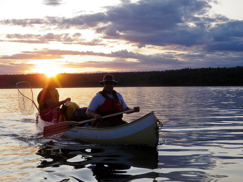
Rod & Jay on a very calm Otter Lake getting near sunset
Jay often tells us how much he shines but we don't usually believe him
By the time we had reached our camp spot that night we had completed what amounted to a marathon day for NorthStar Expeditions:
- 22 km cycling
- 40 km paddling the Montreal
- 15 km paddling on Otter
At 77 km, we travelled about 60 km farther than we have on any other NSE travelling day to date.
We camped for the next 3 nights in the same spot on Otter, a nice well-used campsite in the channel not far from Robinson Falls. Our first full day on Otter was spent touring to the northeast corner of Otter to First North Falls and beyond.
There are 4 channels that flow out of Otter Lake. The most southerly was just a few hundred meters to the northeast from our campsite and is a narrow channel that seems almost runnable. It is joined at the bottom by another narrow channel that exits the lake closer to Robertson Falls. The third is the wide drop that forms Robertson Falls, 2km straight east of our campsite, as the crow flies. All three of these outflows join in a small unnamed lake below Robertson before flowing into Mountain Lake via Twin Falls. Six and a half kilometers to the east-northeast is the North Falls channel. North Falls is divided into two drops, referred to as First and Second North Falls. Although we had wanted to get to the North Falls channel, this was the first time that we had actually gone through the channel, having only seen it from the bottom previously.
 The weather was cooler with a stiff wind out of the west. We decided to take advantage of the wind and set sail towards First North Falls. That was an adventure in itself. Rod & Rob held the sail, while Jay & I kept us heading toward our destination with some expert ruddering. There was also a certain amount of beer juggling and an emergency dropping of the sails to swing around and pick up the "man overboard" (or wayward can of beer, if you prefer). As we approached our destination I decided to read the route description, which clearly dictated that we go around the north side of the island just in front of the falls, lest things go badly for us. Unfortunately, as we read that we were sailing just to the south of the island. Not to worry though, our sailing expertise allowed us to avoid being drawn into the chasm of oblivion Otherwise known as First North Falls.
We spent some time taking a few pictures and fishing below the First North Falls before heading off down the channel towards Second North Falls. This latter falls is more of a large ledgey rapid and is avoided by portaging across an island in the center of the channel.
Panorama view of a portion of First North Falls looking toward Otter Lake
Another view of the top of First North Falls
Bryan posing
Rob, Rod & Jay pose for the camera
These falls rock
Rob gets some photographic assistance
He does look like he could use some help, no?
Another North Falls rock
The bottom of First North Falls
View from the pool below First North Falls
After our time at First North Falls we continued on down through the channel to Second North Falls and portaged across the island into Mountain Lake. We paddled SW about 5km to the bottom of Twin Falls which, like last time, was a raging torrent with the area below a mass of confused water. We managed to pull a few pickerel out of these turbulent waters for our supper. By the time we had portaged off of Mountain Lake and around Robertson Falls, we had paddled an 18.3 km paddling day. So much for a slow day of fishing and relaxation after the long day before.
Rob & Rod fillet the day's catch.
Hands move so fast they are a blur.
Jay contemplates another losing hand of Kaiser. Wait, I think he was my partner for this game so he must have won this one.
Sunday was Game Day! For years we had been missing the Labour Day Classic between the Saskatchewan Roughriders and the Winnipeg Blue Bombers. This year we decided to do something about it. I had secretly brought along a portable satellite radio on which to listen to the game. Rob and I had also brought along our Rider jerseys, ball caps and t-shirts. At the appointed kickoff time, while fishing a quiet bay near our campsite, we pulled the radio out of the dry bag and set it up in the canoe lashed to the yoke, donned our rider gear and put on the game. We handed a couple of ball caps over to the other canoe who were surprised to be able to listen to the game 400 km from the nearest radio tower broadcasting it. It was great! The only tiny glitch was that we messed up the timezones and tuned in during the 3rd quarter. But, we were rewarded with a Rider win at least (Winnipeg - 14, Saskatchewan - 29). The day was spent lounging in camp & fishing the area. Unfortunately, the fishing was only moderately successful.
Rapids in the channel adjacent to Reid Island and near our campsite
Fishing in the rain
That night I decided to try out my new bear bangers & flares (I purchased a kit containing both). The bangers and flares are shot using a "pen launcher" and although I had been carrying them for a couple of trips, had never tested them. I was confused at first between the flares and bangers, apparently misreading the labels. I launched what I thought was a bear banger over the water in front of our channel amidst the rain and lightning. It launched with a substantial bang went rather high and fell as a bright glowing ball of fire into the trees across the channel. I thought at first that it was rather bright and high for a bear banger, and I thought there was supposed to be a delay before the bang. Testing what I thought was a flare next, it soon became clear that I had things reversed as this one launched a much shorter distance (still substantial) and went off with an even louder bang. The power behind both of these things were substantial and don't think I'd want my kids playing around with them. I also think I'd reserve their use as a last resort. Incidentally, I chose that particular time to do the test launch because with the lightning and low cloud cover it was unlikely that someone would see the flash of the flare and launch a rescue mission. Also, The rain provided some fire suppression for which I was grateful as the glowing orb fell in amongst the trees across the channel.
Monday was time to head home. We started the day of with a nice batch of cinnamon rolls for breakfast then packed up and paddled the 15km back to Missinipe in fair conditions, the sun finally emerging.
Rolling out a biscuit dough for cinnamon rolls
A water bottle makes a good rolling pin and the bottom of the canoe makes a good work surface.
Loaded with butter, brown sugar and raisins
Breakfast is ready
Gorgeous day for the paddle home
Refreshment break on Otter Lake
Our weather for the trip was mediocre: moderately warm and mostly overcast with some stiff wind, though the wind had little effect on us, or was in our favour. The best weather was seen during the paddle home. Most of the rain that fell on us occurred during the evening of our final night. The total distance paddled during the trip is estimated at over 90 km. Add in the bike ride and that's a total of 112 self-propelled kilometers! The water levels were much higher than normal, a fact which allowed us to paddle the Montreal in September, a couple months later than usual. We can expect the Montreal River to have been running somewhere between 20-25 m3/sec; certainly it seemed comparable, if not a bit higher, to the level when I paddled it a couple weeks earlier. On the Churchill, the recorded values during our trip were 590 m3/sec; 17.6°C; 2.55 metres. (Peak was ~Aug 6 at 2.84 meters or approximately 730 m3/sec. See this earlier post for more information on water levels.)
A bit of rain, a fair bit of wind, but reasonably warm
I don't have the graph for the particular time were on the Montreal River, but it's pretty easy to use your imagination and extrapolate out a week or two.
Water level and water temperature recorded at Otter Rapids
